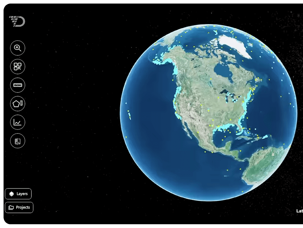
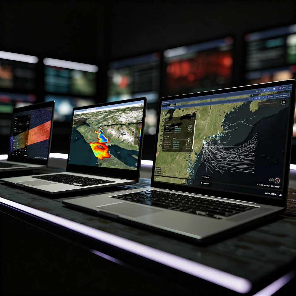
Continuous, comprehensive subsea intelligence from our self-recharging fleet of autonomous submarines.
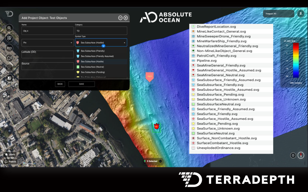
Ingest data from AUVs, ASVs, sensors, and partner hardware seamlessly.
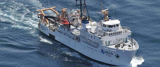
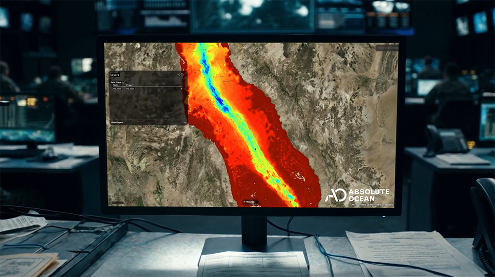
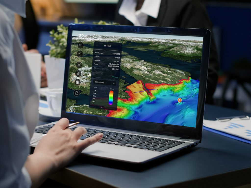
NOAA, EMODnet, satellite, and open-source
datasets integrated into one view.