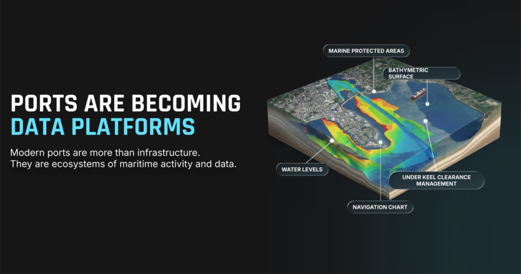
The Port of New Bedford, Massachusetts — the largest commercial fishing port in the United States — is building the foundation for a digital twin that connects fisheries, research institutions, robotics companies, and port stakeholders within a unified data environment.
Led by the New Bedford Ocean Cluster in partnership with New Bedford Research & Robotics, the New Bedford Port Authority, the University of Massachusetts Dartmouth, and Teledyne Marine, the initiative uses Terradepth OceanOS™ and Absolute Ocean® as the data backbone for a shared, evolving view of the port. By enabling multiple stakeholders to contribute and access data within a connected environment, the project is establishing a scalable model for how ports can consolidate datasets into a single, trusted source of truth.
Challenge
The Port of New Bedford includes a diverse mix of stakeholders, from fisheries and research institutions to robotics companies, aquaculture operators, and offshore energy organizations. Each generates valuable datasets such as bathymetry, surveys, sensor feeds, imagery, and aquaculture data that are managed across separate systems and formats.
Without a shared environment, combining and operationalizing this information required significant coordination across organizations, limiting the ability to create a unified view of port activity and support a true digital twin.
Solution
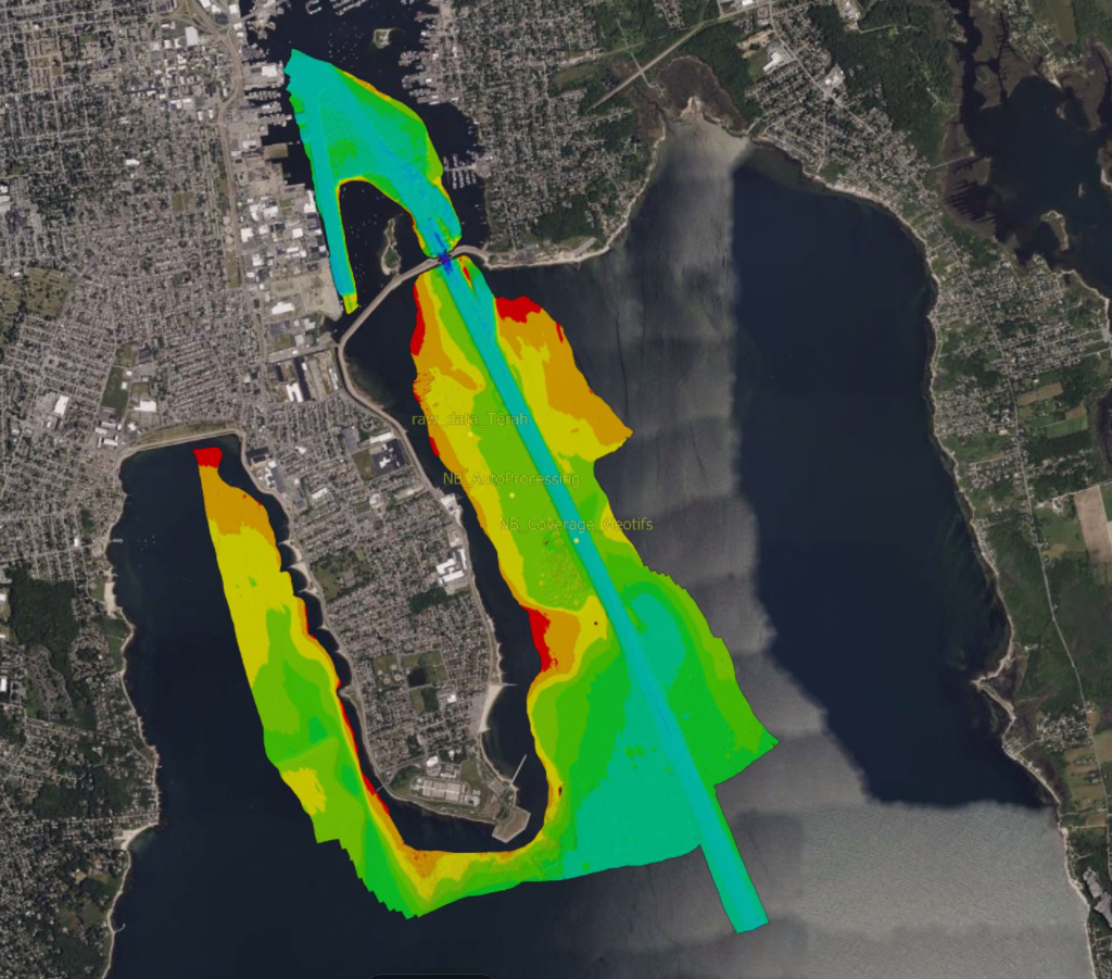
The project team in New Bedford selected Terradepth’s Absolute Ocean® platform as the foundation for the port’s digital twin, beginning with a hydrographic survey conducted by Terradepth and the resulting bathymetric dataset hosted within a shared geospatial environment.
Stakeholders then layered additional datasets into the platform, creating a system of record that supports secure data sharing, modeling, and long-term analysis. The result is a connected operational view of the port, including integration of physical infrastructure such as the advanced camera network with live and contextual data.
“With Absolute Ocean, we’re turning complex ocean data into clear, usable insight—connecting stakeholders, improving decisions today, and laying the groundwork for more resilient infrastructure, economic growth, and coastal security.”
— Mark Parsons, Founder & CEO, New Bedford Research & Robotics
Results
Absolute Ocean® is enabling a more connected and accessible data environment across the New Bedford port ecosystem, allowing stakeholders to work from a shared foundation and accelerate insight generation. Access to data that once required coordination across multiple organizations can now be achieved within a single platform, supporting more informed and timely decision-making.
The initiative also establishes a scalable model for port digital transformation. By creating a digital foundation that can continuously integrate new datasets, New Bedford is demonstrating how a digital twin can support not just port operations, but the broader port economy.