Navigation System
System Access
Headquarters
Cedar Park, Texas
United States
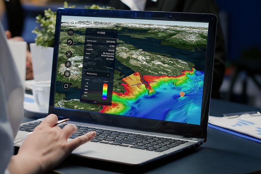
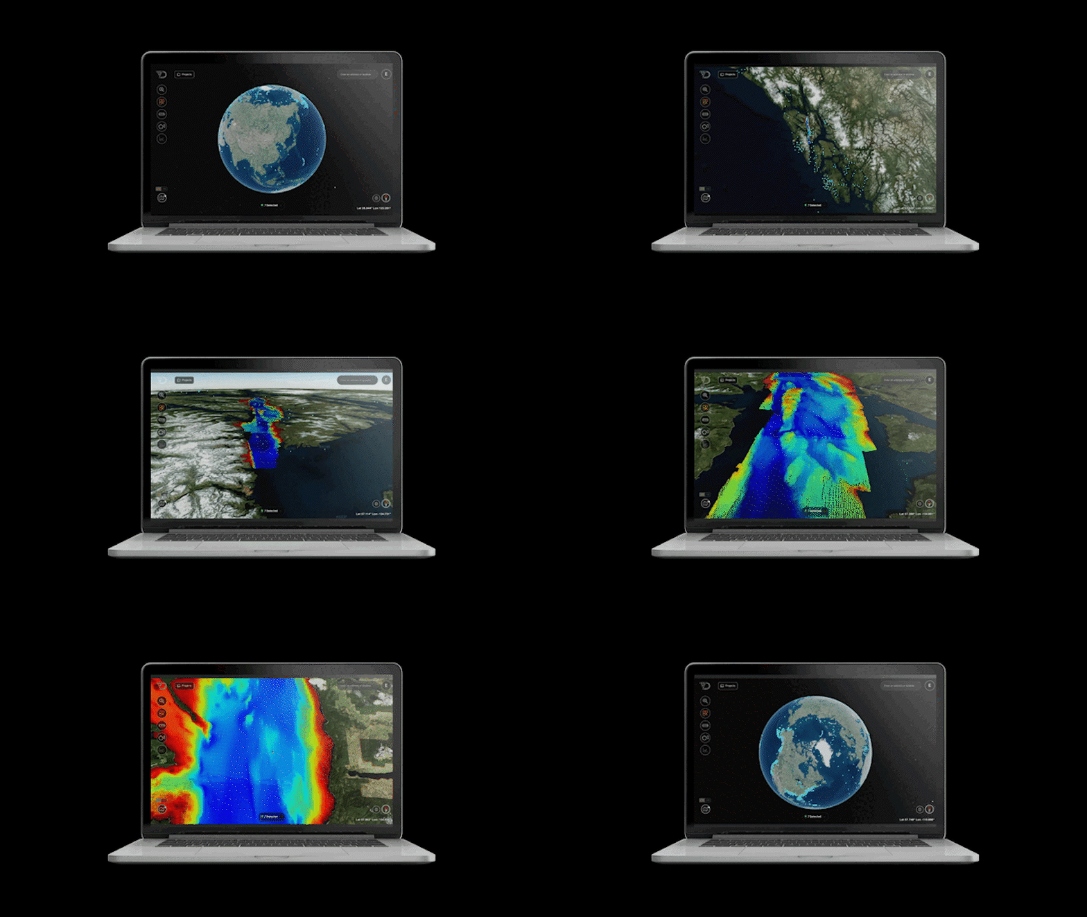
Built for interoperability. Designed for security. Scaled for the planet’s largest unmapped frontier. Absolute Ocean is a federated, cloud-native platform that synchronizes ocean intelligence across sources, workflows, and stakeholders for seamless data management.
Ingest data from any source—OceanOS™ collection vehicles, third-party assets, government archives, commercial sensors—into a unified data environment. No more silos.
Automated QC, ML-driven classification, and Agentic AI that transforms raw data into actionable intelligence—at the edge and in the cloud.
The data layer on which OceanOS™ applications are built. APIs, SDKs, and integration tools that let you build custom solutions or deploy our purpose-built applications.

Eliminate data silos and costly re-surveys with a centralized, secure ocean data warehouse. Your organization’s single source of truth for all seabed datasets, fully searchable and audit-ready.
Transform raw bathymetry and other geophysical data into interactive maps, profiles, and time-series comparisons enabling anyone, not just specialists, to make data-driven decisions.
Ingest survey data directly from the field with no manual handling. Automated validation ensures accuracy and speed, and our API ensures seamless connectivity to your existing tools.
Government-trusted security standards ensure that sensitive subsea intelligence stays private, protected, and compliant.
Access survey data directly on-vessel or transmit securely to shore crews in low-bandwidth environments. No need to wait for physical hard drives or post-mission processing.
Reduce costly re-surveys and accelerate project timelines with on-vessel, in-mission analysis and rapid QA/QC accessible to all stakeholders.
Multiple teams, from offshore, onshore, and headquarters, can collaborate in a single environment, viewing the same datasets, annotations, and insights in real time.
Make informed decisions while assets are still deployed, minimizing vessel standby time and avoiding delays due to unknowns.

When defense platforms need ocean data, Absolute Ocean provides the collection, processing, and dissemination layer. We handle the data; they handle the mission.

GIS platforms (ESRI, QGIS). Survey software (HYPACK, EIVA, QPS). Asset management systems. Cloud providers (AWS, Azure, GCP). Absolute Ocean exports to standard formats and integrates via API.

IHO S-100 family. NOAA specifications. NATO STANAG. FedRAMP and IL4/IL5 security. Absolute Ocean is built for government interoperability and classified operations.
Explore ocean data with Absolute Ocean—the platform trusted by defense, energy, and maritime organizations worldwide.
