Newsroom Category: Article

Terradepth achieves IHO Special Order Standard for seabed mapping accuracy

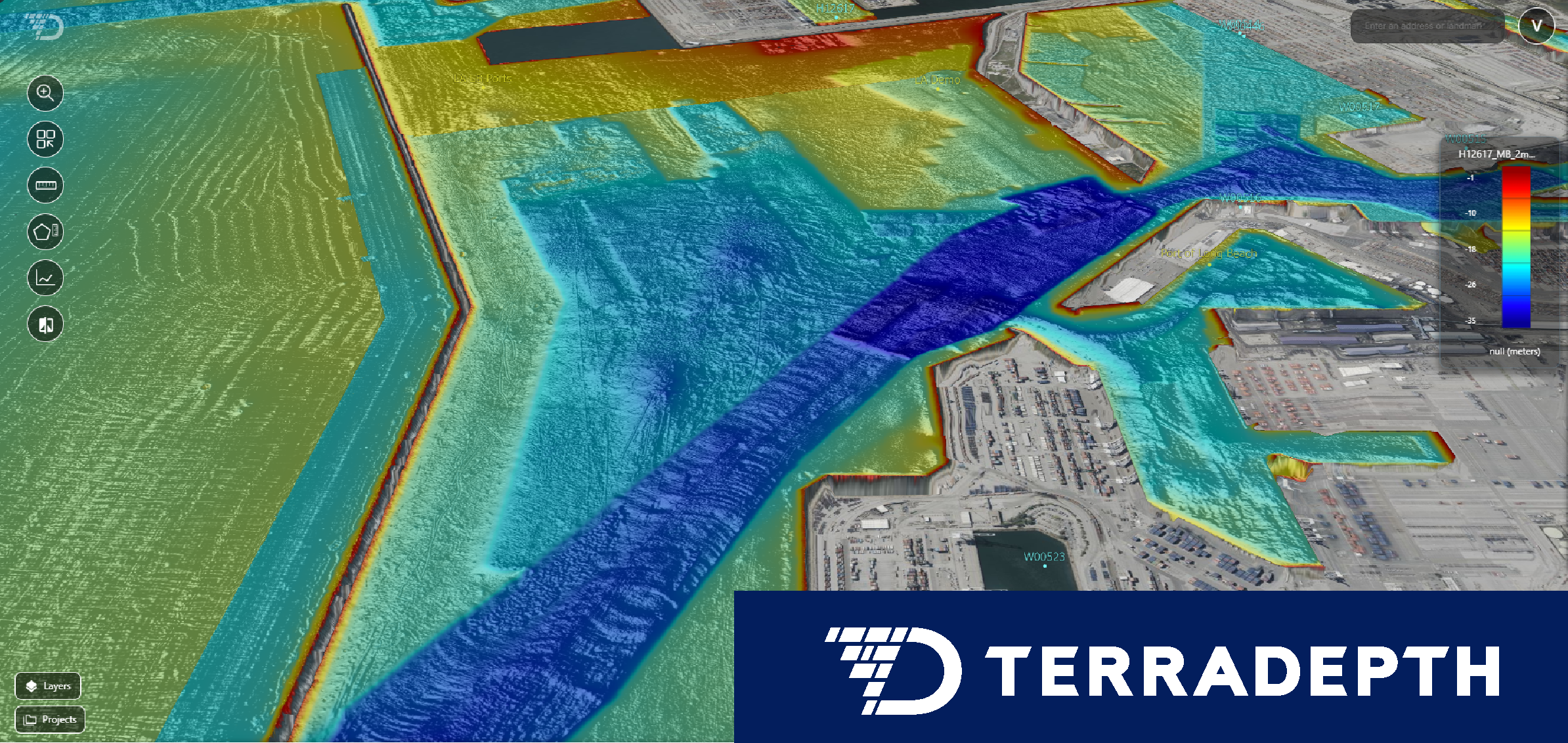
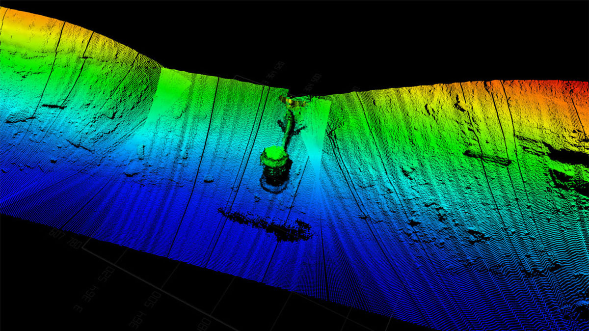
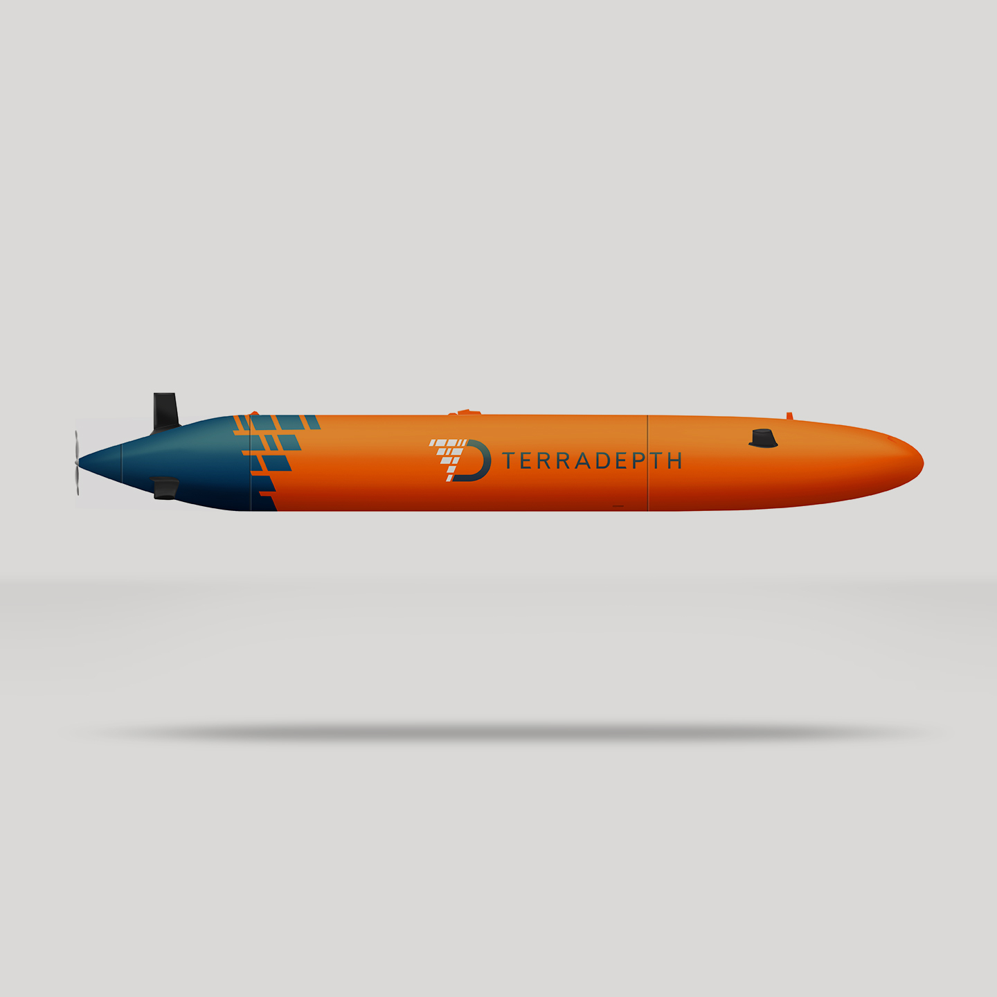
Stringent certification proves high-specification surveys no longer require large-footprint operations AUSTIN, TX, September 25, 2025 – Terradepth, a seabed information company, successfully completed an IHO S-44 Special Order survey with an autonomous underwater vehicle (AUV). This achievement meets one of the most stringent international standards for hydrographic accuracy. Using advanced AUV technology, Terradepth demonstrated that Terradepth achieves IHO Special Order Standard for seabed mapping accuracy

Underwater Robotics Issue 17: Managing Ocean Data

Underwater Robotics Issue 17: Managing Ocean Data: Terradepth Absolute Ocean and EIVA NaviSuite Software

Six unmanned water vehicle startups to watch

Illustration of AUV drones

Water is the next frontier for drones and unmanned vehicles – here are six startups making waves. When most people think drones, they think air. Whether it’s warfare, logistics or inspection, airborne drones are changing the way the world works. But another quieter revolution is also taking place on, and under, the water. Some 70% Six unmanned water vehicle startups to watch

Upstream: Meet the company seeking to take the surface vessel out of subsea

Upstream Meet the company seeking to take the surface vessel out of subsea

Nicholas Heath Enterprise editor | London Texas-based Terradepth is developing a new autonomous underwater vehicle that it believes could reduce or even eradicate the need for surface vessels Fresh from winning a key offshore energy contract, autonomous underwater vehicle and data specialist Terradepth is targeting the world’s largest oil and gas companies with technology that Upstream: Meet the company seeking to take the surface vessel out of subsea

Terradepth and EIVA partner to automate subsea data collection-to-cloud

EIVA and Terradepth Absolute Ocean Webinar featuring Insights from Oceaneering

Webinar on June 17 features live demo by Terradepth and insights from Oceaneering AUSTIN, TX, June 10, 2025 – EIVA and Terradepth announced today the two companies have partnered to streamline subsea data workflows by integrating Terradepth’s Absolute Ocean platform with EIVA’s NaviSuite software. This collaboration automates the entire subsea-to-client data workflow, providing expert insight Terradepth and EIVA partner to automate subsea data collection-to-cloud

Hydrographic Survey Equipment Market Expected to Reach $6.5 Billion by 2033

“The hydrographic survey equipment market is dominant in the aerospace and defense industry due to the increasing demand for precise underwater mapping and navigation capabilities. These tools are essential for military operations, including submarine navigation, mine detection, and coastal surveillance, enhancing national security and operational efficiency. Advancements in technology improve data accuracy and reliability, further Hydrographic Survey Equipment Market Expected to Reach $6.5 Billion by 2033

Terradepth at a Glance

Tasked Ocean Data in 48 Hours—Anywhere in the World DIFFERENTIATION TERRADEPTH has created a new generation of deep ocean, low-cost Unmanned Maritime Systems (UMS), with superior payload capacity, advanced autonomy and machine learning capability. The UMS possesses the sensor performance of industry-leading Autonomous Underwater Vehicles (AUVs) while persisting for one month, not hours or days. Terradepth at a Glance

Concept of Operations Graphic

Tasked Ocean Data in 48 Hours—Anywhere in the World DIFFERENTIATION TERRADEPTH has created a new generation of deep ocean, low-cost Unmanned Maritime Systems (UMS), with superior payload capacity, advanced autonomy and machine learning capability. The UMS possesses the sensor performance of industry-leading Autonomous Underwater Vehicles (AUVs) while persisting for one month, not hours or days. Concept of Operations Graphic

2 former Navy SEALs are using robot submarines to build ‘Google Earth’ for the ocean

In 2005, Joe Wolfel and Judson Kauffman were a year into their Navy SEAL careers when they received a briefing on the USS San Francisco, a nuclear-powered submarine that had crashed into an undersea mountain, in large part due to uncharted waters. “The Navy really doesn’t have charts or maps of very much of the 2 former Navy SEALs are using robot submarines to build ‘Google Earth’ for the ocean

Terradepth raises $8 million to build a fleet of autonomous deep-ocean data robots

Plenty of the ocean remains unexplored, even though it’s a huge trove of potentially valuable information. Current methods for mapping and gathering ocean data, especially deep-ocean data, generally require humans in the mix (even if controlling vehicles remotely), are immensely expensive and are not designed for long periods of operation. Startup Terradepth, founded by two Terradepth raises $8 million to build a fleet of autonomous deep-ocean data robots