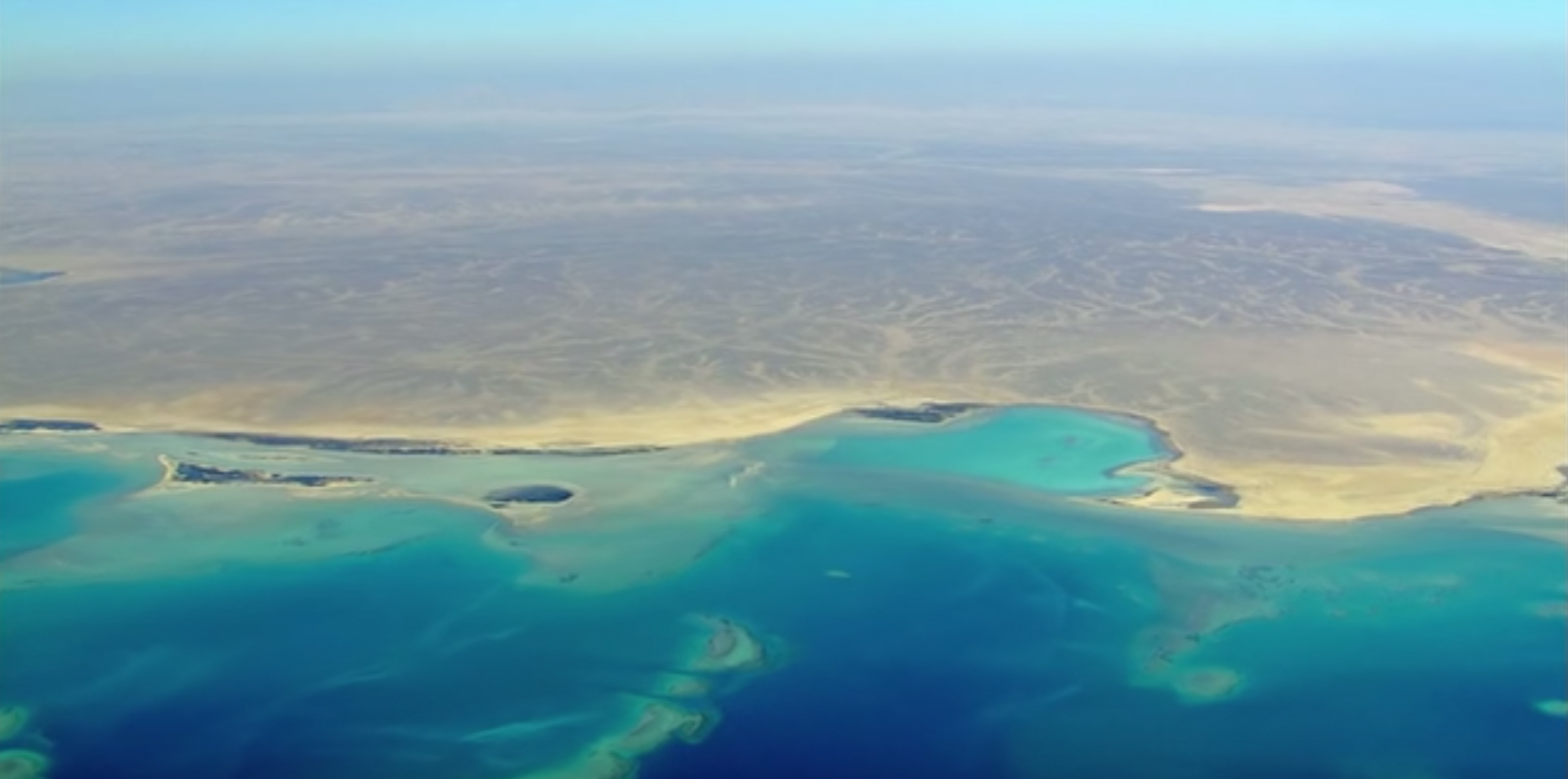
This Texas-Based Startup is Mapping The Ocean Floor Using A Machine Learning-Backed, Cloud-Based Portal
Despite the fact that our vast oceans encompass most of the earth and are critical to human life, we don’t know much about them. Although humans have been exploring the waters for as long as we have existed as a species, a very minimal part of the ocean has been precisely charted and understood.
Terradepth is a data-as-a-service firm creating a comprehensive map of the earth’s oceans. Their systems travel farther, deeper, and for longer periods without the need for humans onboard, exploring never-before-seen areas of the sea. They’re building a scalable, cost-effective data database that will inform and transform various sectors that deal with the oceans. Terradepth is constantly collecting meaningful insights from the ocean data, from anticipating atmospheric weather patterns to creating underwater energy and telecom infrastructures to preserving and ensuring the future of our coastal towns.
To ensure our planet’s long-term viability, we must improve our relationship with our oceans. Terradepth aspires to be a leader in creating a broad, in-depth understanding of the sub-sea environment.
Terradepth’s “Absolute Ocean” is a cloud-based, browser-based ocean data management platform that allows customers to manage their datasets while accessing Terradepth data via subscription. Because it categorizes metadata connected with each data source, the AO library has a range of tools and sophisticated search options. Within Absolute Ocean, Terradepth created machine-learning pipelines that enable autonomous target recognition. The ensemble deep-learning neural networks developed by AO are used to analyze sonar data and make more accurate predictions than individual models.
The Austin-based firm recently raised $20 M funding. Giant Ventures and Nimble Ventures led the round. The company wants to use these funds to improve its Absolute Ocean data visualization platform and recharge the AUVs’ capabilities (submersible drones) that it uses to collect all of its data. This round aims to move further towards their vision to become “Google Earth for Oceans.”
References
- https://www.terradepth.com/
- https://techcrunch.com/2022/04/11/terradepth-raises-another-20-million-to-map-the-ocean-floor-with-robots/
- https://www.seanews.co.uk/technology/terradepth-launches-absolute-ocean-data-as-a-service-platform-to-map-oceans/
CLICK HERE TO VIEW ARTICLE.